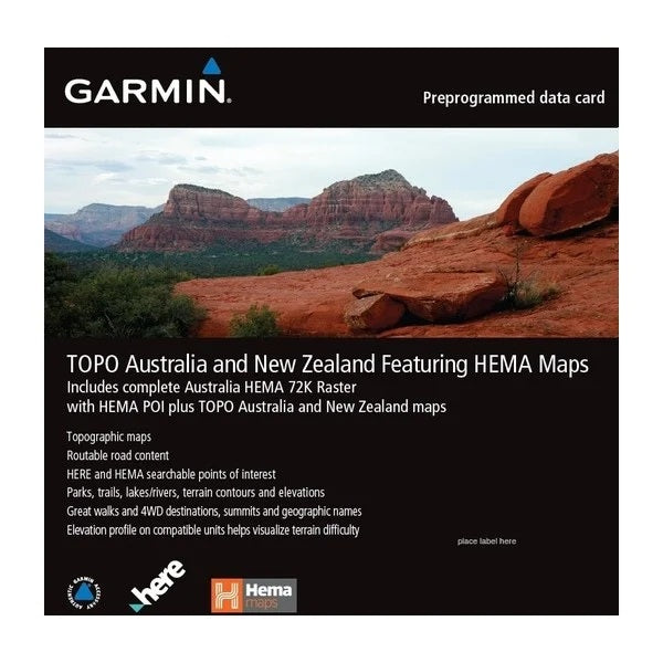
GIVE US A FOLLOW
Get enhanced topographic detail on your compatible device whether you're in the outback or on a main boulevard in the city. This map provides a wide array of HERE topographic information from terrain contours, elevations and summits to coverage of perennial and intermittent lakes, rivers and streams in Australia & New Zealand as well as HEMA 72K Raster and HEMA POIs information for Australia.
- Provides terrain contours and summit points at 10 m intervals for a more detailed view of the terrain
- Contains more than 105,000 km of tracks, roads and outback trails; also displays 4WD destinations and hydrographic features: lake/river shorelines and perennial and seasonal streams
- Includes built-in DEM data with 3-D shading and route elevation profiles on compatible devices so you can estimate terrain difficulty
- Offers updated and new searchable HERE and HEMA points of interest in urban, rural and outback areas, including lodging, restaurants, homesteads, parks, shopping and camping locations
- Displays updated routable road content, by HERE, to give you turn-by-turn directions to your destination
- HEMA 72K Raster is great for caravanning, trekking & hiking, camping, geocaching 4WD, and other outdoor activities.
{"one"=>"Select 2 or 3 items to compare", "other"=>"{{ count }} of 3 items selected"}